Team
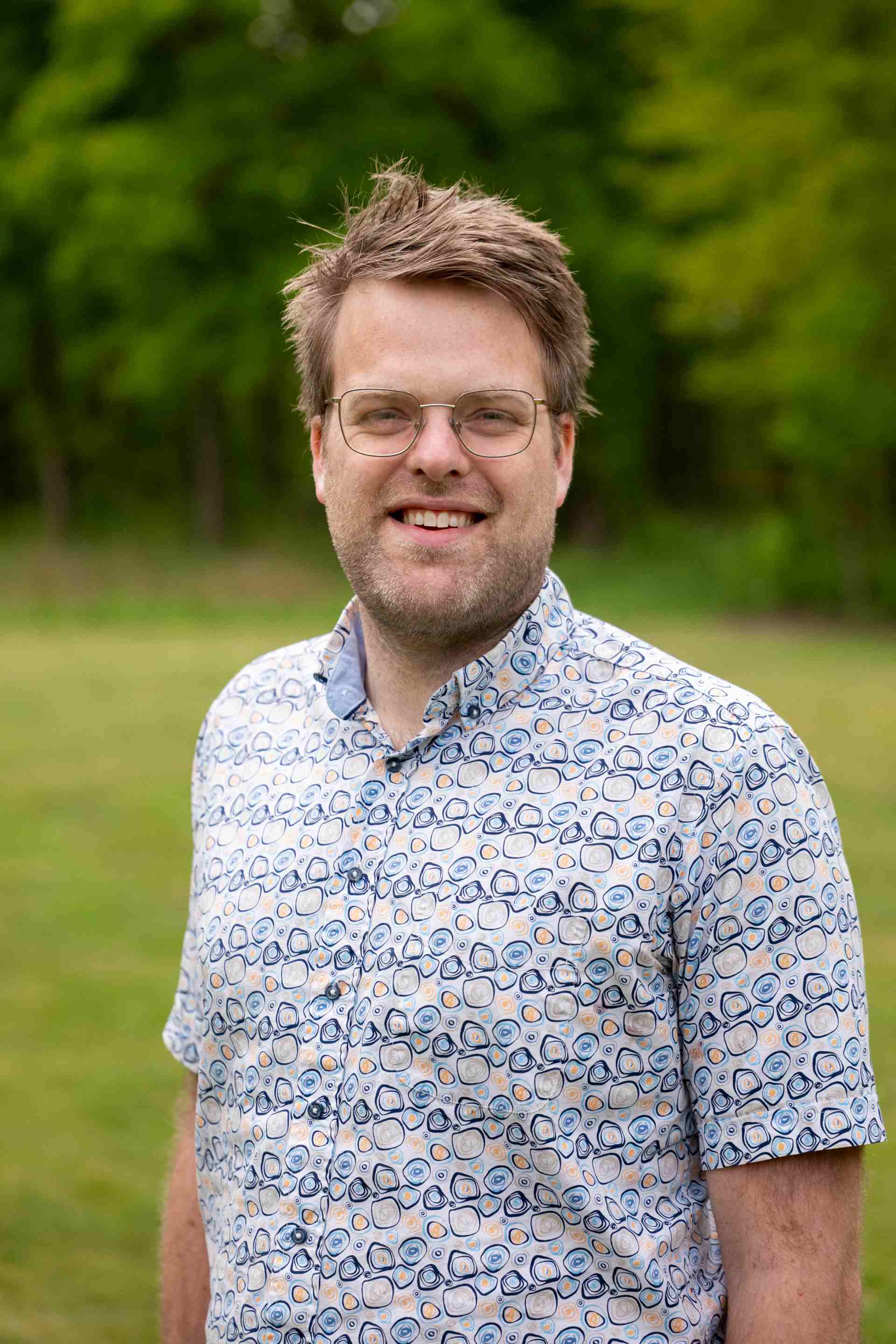
Co-Founder & CEO
Dr. Bastian van den Bout
The architect of our rapid modeling technology, Bastian is a senior researcher in hydrological modeling. He earned his PhD Cum-laude from the University of Twente and serves as a Senior Consultant for the World Bank GFDRR group. His vision guides our technological development and our mission to help vulnerable communities.

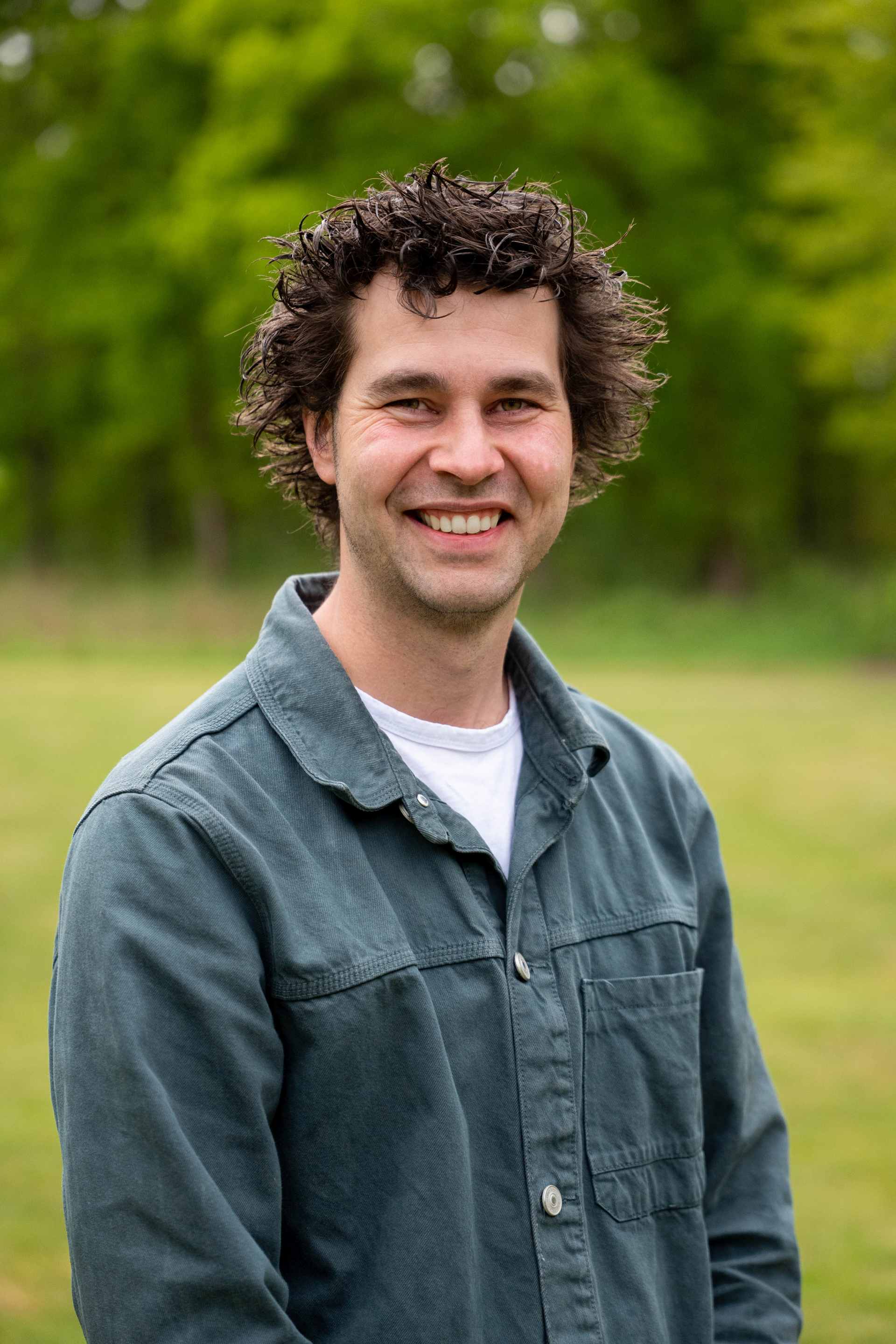
Co-Founder & Climate Adaptation Lead
David Meijvogel Msc
David is a senior consultant specializing in urban climate resilience and real-estate adaptation. He is an award-winning expert and leads our work in translating hazard data into actionable insights and strategies for urban planning and climate-proofing infrastructure, particularly in the Netherlands and also abroad.

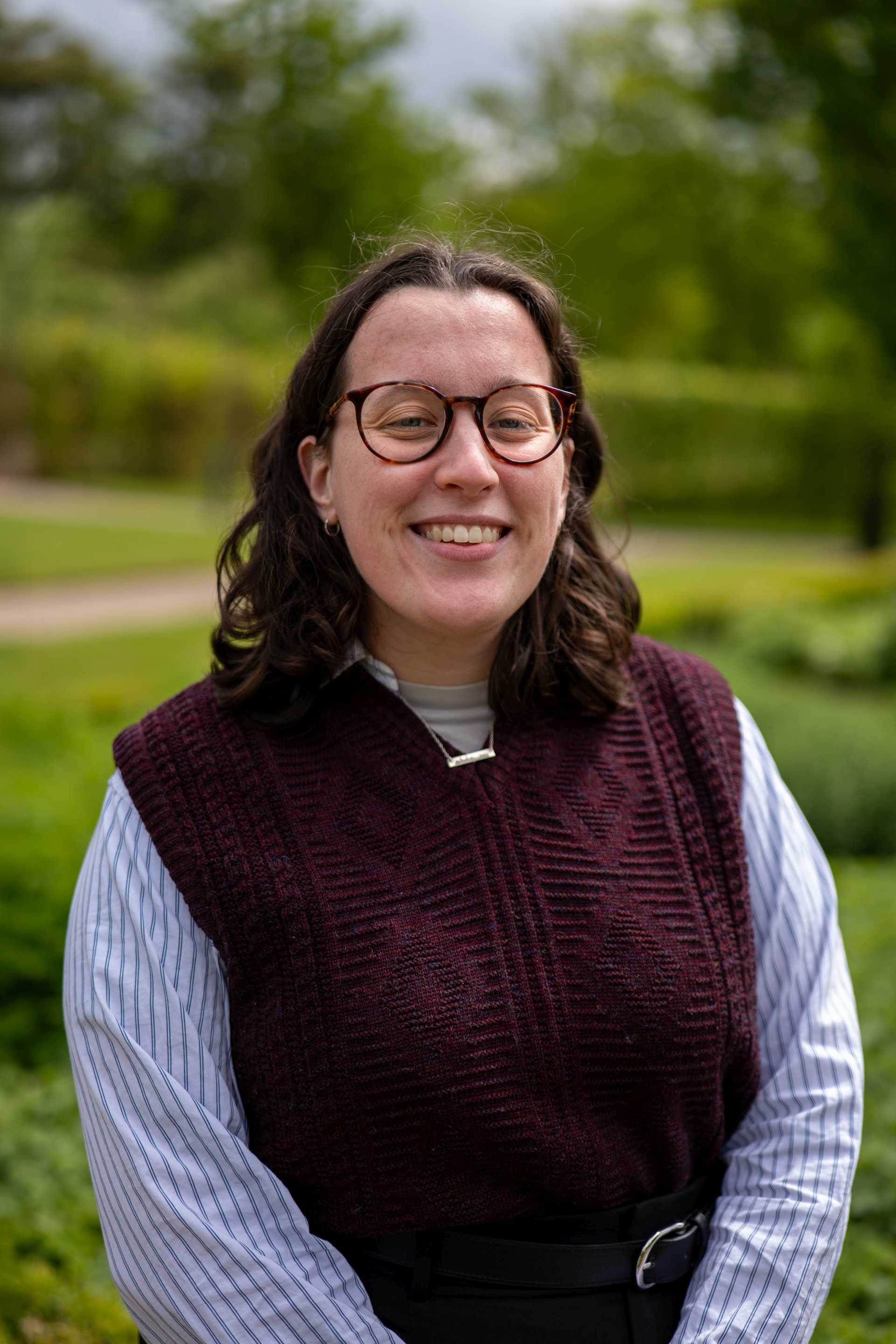
Geospatial Engineer & Hazards Consultant
Katherine van Roon Msc
With an MSc in Spatial Engineering, Katherine combines technical fluency in GIS, remote sensing, and programming with field experience in vulnerable regions like Dominica. She brings strong technical skills in GIS, remote-sensing, and programming.

Climate Hazards Specialist
Faheed Jasin Kolaparambil Msc
Faheed is an expert in remote sensing and physically-based modeling with extensive experience in climate risk assessments for the Global Center on Adaptation and the World Bank. He specializes in calibrating large-scale datasets and bridging the gap between global data and local-scale risk analysis.

History
The FastFlood method took shape in its first form around 2021. As part of the development of the LISEM model (https://www.lisemmodel.com), I was testing flow accumulation schemes that involved some sense of physics. Tools such as drainage networks (D8) or r.simwater provide a very useful way of structurally representing water flow in a fast and easy manner, but lose the representation of floodplains. In testing new versions of this, I noticed steady-state solvers with high initial water levels rapidly iterating to a flood-plain inclusive flow network. This helped in various types of models, such as soil depth predictors and wetness index.
It was while explaining to a student how this worked I jokingly mentioned how it is actually a really good flood predictor that runs really fast. In the next year, I could spend some on- and off-time on the method, often changing the algorithm entirely. The steady-state compensation scheme is inspired by earlier work I did on statistical representation for landscapes while applying physically-based laws. The fast sweeping algorithm which is used for DEM correction and flow accumulation was another milestone. I had known about the algorithm for a while through an enthusiastic artistic coding community (shadertoy.com). However, I had never encountered the realization that DEM correction and flow accumulation through networks would benefit from this (as well as the geo-spatial spread algorithm). Finally, it nearly reached its current form. A small nudge from my wife and colleagues later, and the FastFlood website was born.
Acknowledgements
Special thanks are given to all of the contributors to the code, and those that have otherwise helped with development (Thank you Lois, Giacomo, and Luigi). Additionally, this work would not have been possible without the amazing efforts for free open software within the field of Geoscience and beyond.