Major February Update
March 16, 2026, 11:05 a.m.
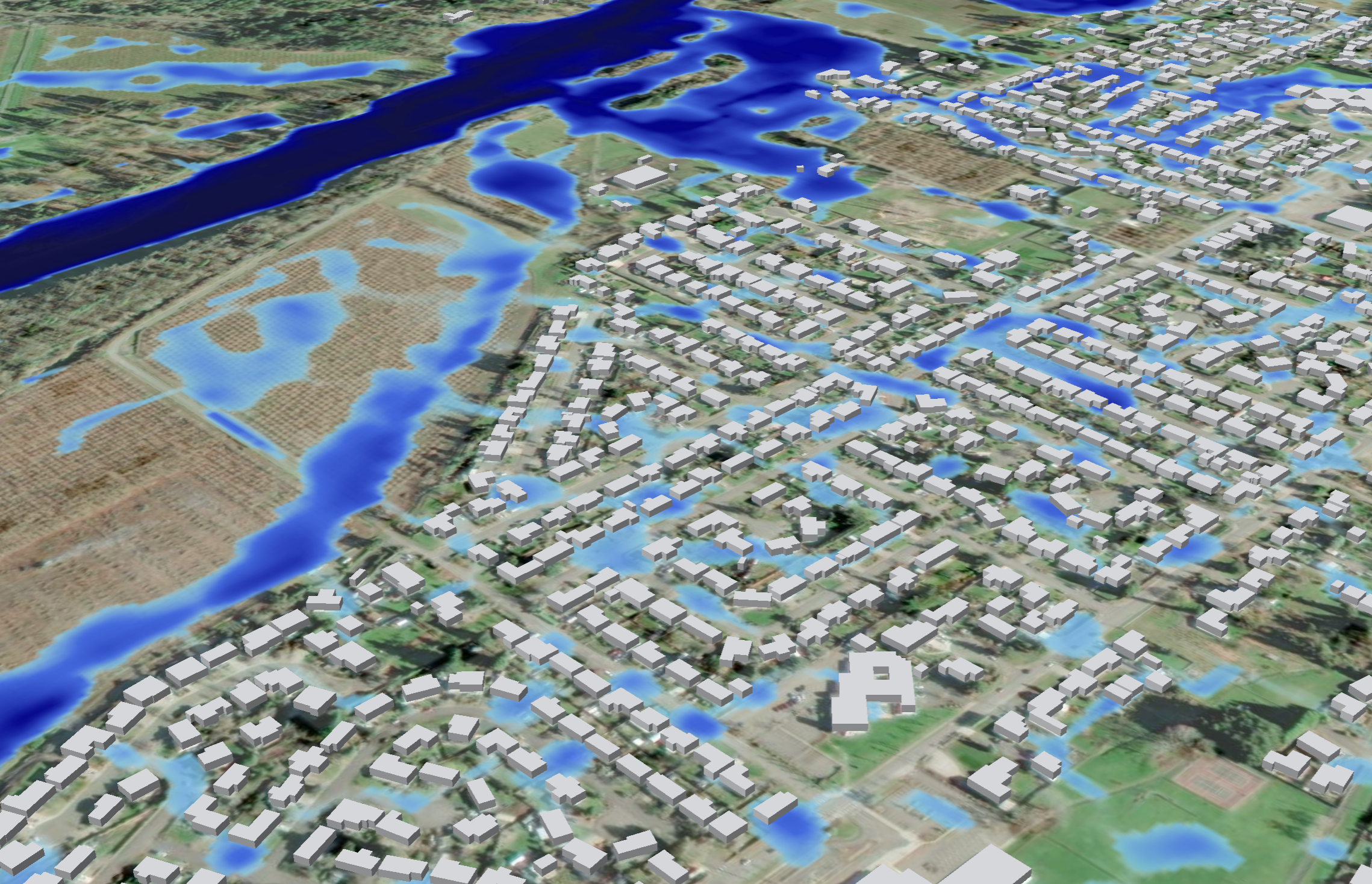
We’re kicking off 2026 with major upgrades to FastFlood Global, pushing flood modelling accuracy, interactivity, and urban capability forward.
🔥 So What’s new?
🗺️ 1-meter DTM support for Canada & the USA
Ultra-high-resolution elevation data is now live, delivering sharper, more reliable flood simulations across North America. (This makes FastFlood a repository for very high-resolution DEMs worldwide 🦾 )
🌧️ Next-generation global precipitation statistics
Powered by machine learning and global hourly station data for a more realistic rainfall representation worldwide.
🌊 Hydrograph outputs along all rivers
Instantly explore local river behaviour, just click any river segment to view detailed hydrographs.
🏙️ Stormwater drainage modelling
Simulate urban drainage networks by drawing directly in the platform or uploading your own system, bringing surface flooding and drainage together.
⚙️ Improved model stability & performance
Plus a range of smaller platform enhancements to make FastFlood Global smoother, faster, and more robust.
These updates are designed to help cities, consultants, and decision-makers understand flood risk better, faster, and with greater confidence.
More to come in 2026, stay tuned.
We have fulfilled our New Year's resolution. What about you?