FastFlood Docs
Coastal
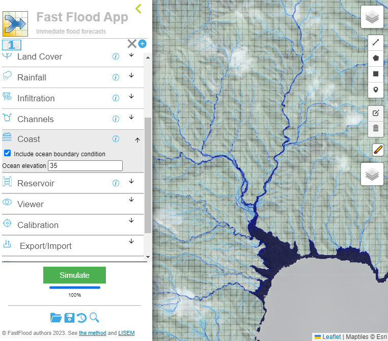
Coastal boundary condition
Within the fastflood tool, you can specify a coastal boundary condition. Under the menu for coastal, specify the inclusion of a coastal boundary. Secondly, specify the absolute elevation in meters of the coastal waters. During the simulation, the coastal flood height is enforced continuously at the coastal boundary. This means any area that is lower than the absolute elevation of the coastal waters will end up submerged. If there is no direct connection for water flow between the coast and a low-lying area, the area will not end up flooded by coastal waters.
Coastal border definition
The coastal boundary is assumed to be any pixel where a neighbor within the model domain contains a missing-value indicator. In most GIS systems, you can specify the missing-value indicator as part of the geoTIFF file format. The fastflood model does not calculate rain-fall or discharge induced flooding for missing-value cells, and normally considers these infinite drains. When activating the coastal boundary condition, this boundary condition is used instead.
Relation to precipitation-driven flooding
The surface flows are also influenced by the coastal flood waters. Depending on the interactions between the coastal and non-coastal flood, flow paths might be altered.